Victoria · Attraction
The Camels Hump
Highest peak in the Ranges
schedule 1 min read / Updated Jun 2026
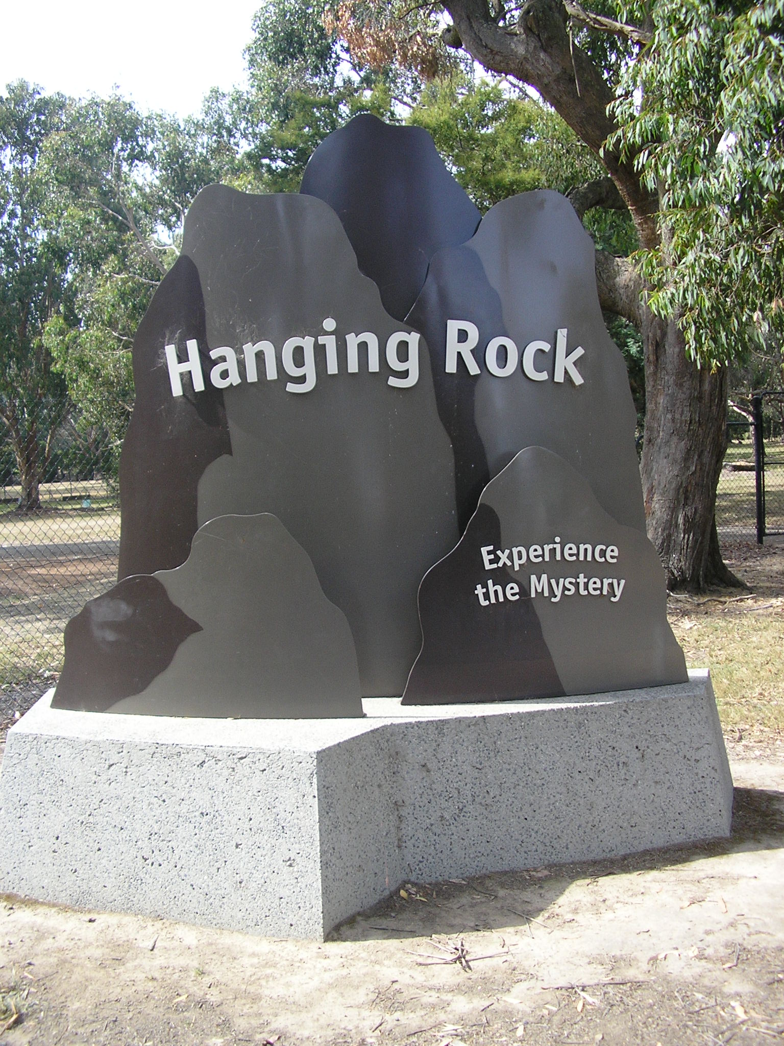
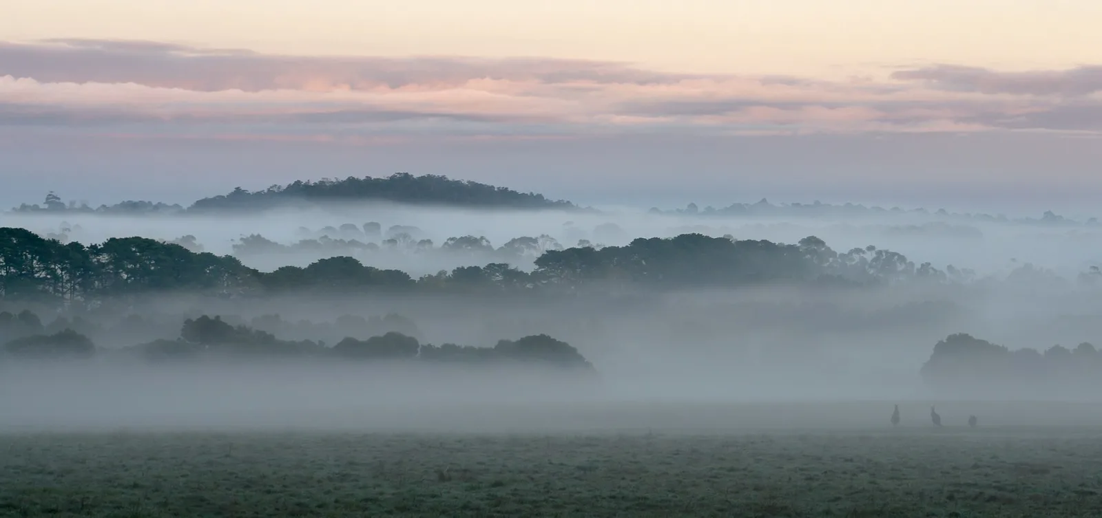
At 1,011 metres above sea level, the Camels Hump is the highest point in the Macedon Ranges and offers sweeping views over Hanging Rock, the volcanic plains and on clear days as far as Port Phillip Bay. Set within Macedon Regional Park, the summit is reached via a short but steep gravelled trail through cool damp forest dominated by Manna Gums and Snow Gums at the higher elevations.
The most direct route from the Camels Hump trailhead is just 500 metres along a gravelled path, though several steps near the top demand sturdy footwear. More ambitious walkers can combine the summit with the Mount Macedon Memorial Cross on a challenging loop of around 20 kilometres through the park's varied forest.
The summit granite is also a destination for rock climbers, with technical routes permitted in a defined area. Bird life in the surrounding forest is rich, with rosellas, currawongs and the occasional wedge-tailed eagle sighted regularly.
Mount Macedon sits in a reliably cool microclimate and can be several degrees colder than Melbourne, so visitors should dress in layers and carry water. Conditions can shift quickly, and the summit can be misty or icy in winter.
Scenic views